Around 1910-1911, Rawdon saw the launch of an ambitious resort project that would have a lasting impact on the development of its territory.
Landowners along the Rouge River were approached by Montréal real estate developers to agree to sign promises of sale (1). Nearly 1,000 acres of land were acquired in this way, including several flood-prone sectors along the Rouge River.
These acquisitions included land on both sides of the shoreline, stretching from the current dam bridge on 3rd Avenue to the area around the small bridge on Lakeshore Drive, near Lucien-Godin Street, covering a distance of more than four kilometres
This project involved the construction of a dam that created an artificial lake in the heart of the village, permanently transforming the local landscape.
The creation and characteristics of the dam
The construction in 1915 of this concrete dam above Mason Falls on 3rd Avenue created Rawdon Lake, which would go on to become one of the most iconic landscape features of the village centre.
The Rawdon Lake dam, 158 metres long, consists of a concrete structure forming a 6.58-metre-high retaining wall (1). This dam still today helps maintain Rawdon Lake, which covers an area of 45.7 hectares at this elevation. During the high-water period, generally in early May, the flow of the Rouge River at the dam is approximately 7 cubic metres per second, while it drops to just 0.71 cubic metres per second during the low-water period, which runs from July to October (2).
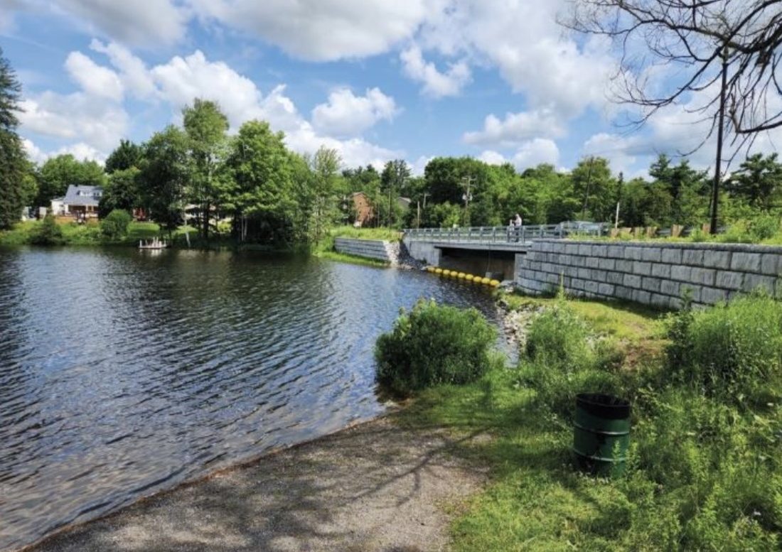
The 2021 restoration
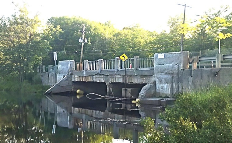
Built in 1915, this dam underwent a major restoration in 2021 (3).
The 3rd Avenue dam before its restoration in 2021, photo: Municipality of Rawdon.
Sources :
Ministère de l’Environnement, de la Lutte contre les changements climatiques, de la Faune et des Parcs (MELCCFP) (Ministry of the Environment, Climate Change, Wildlife and Parks). Fiche technique X0004204 — Lac Rawdon (technical data sheet X0004204 — Rawdon Lake), Dam Directory. Website accessed June 2, 2026 https://www.cehq.gouv.qc.ca/barrages/detail.asp?no_mef_lieu=X0004204
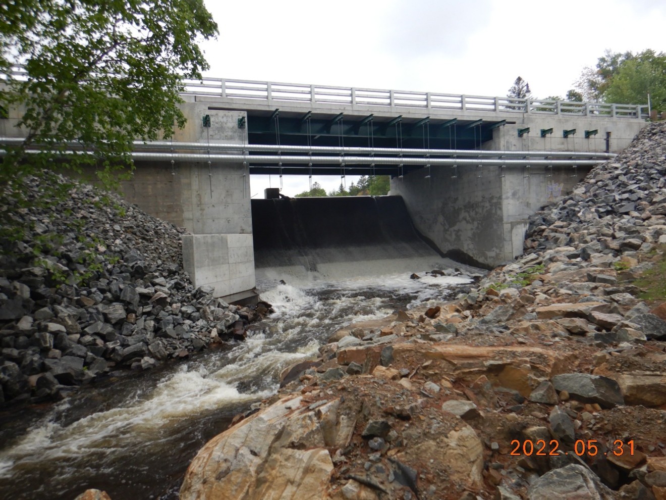
Photo of the dam bridge in 2022, photo: Ministère de l’Environnement, de la Lutte contre les changements climatiques, de la Faune et des Parcs (MELCCFP) (Ministry of the Environment, Climate Change, Wildlife and Parks), Fiche technique X0004204 Lac Rawdon (technical data sheet X0004204 Rawdon Lake), featuring a photo of the restored bridge and dam